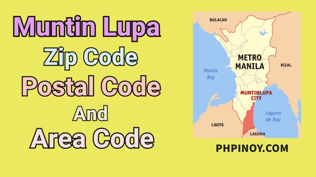
Muntinlupa, officially called the “City of Muntinlupa,” is a highly urbanized area in Metro Manila or the National Capital Region. It is also known as “The Emerald City” as there are many green areas in the city. It is situated in the southernmost city of Metro Manila, which is why it is also known as the “Gateway to Calabarzon.” Two of the well-known barangays and key areas in this city are Alabang and Ayala Alabang, where most of the business establishments and commercial centers are located.
Muntinlupa ZIP Codes, Postal Codes, and Area Code
Here are the postal codes (zip codes) and area code of Muntinlupa City. The range of its postal codes (zip codes) are 1770-1777, 1780, and 1799, and the area code is 02.
| Location | Postal Code / Zip Code | Area Code |
| Ayala Alabang P.O. Boxes | 1799 | 02 |
| Ayala Alabang Subdivision | 1780 | 02 |
| Bayanan/Putatan | 1772 | 02 |
| Bule/Cupang | 1771 | 02 |
| Muntinlupa CPO | 1770 | 02 |
| Pearl Heights | 1775 | 02 |
| Pleasant Village | 1777 | 02 |
| Poblacion | 1776 | 02 |
| Susana Heights | 1774 | 02 |
| Tunasan | 1773 | 02 |
Key Areas of Muntinlupa
The key areas of the City of Muntinlupa serve as the center of various activities. In these areas, locals and tourists can access various destinations and government offices that provide different services. Here are some key areas of Muntinlupa.
1. Poblacion. Poblacion is the center of Muntinlupa City. It is home to the National Bilibid Prison, Jamboree Lake, Japanese Cemetery, Memorial Grotto or Memorial Hill, and Director’s Quarter. There are also many subdivisions in the area. The Aplaya, a lakeshore community, is one of the notable streets where people reside.
2. Tunasan. It is a place where Museo ng Muntinlupa, a five-storey museum designated to be an educational and cultural venue, is located. The SM Development Corporation donated land in the Laguerta Compound of this barangay. In this compound, some of the government offices and establishments are located, such as DepEd Muntinlupa, Health Office, Police Headquarters, Bulilit Center, and Tunasan National High School.
3. Putatan. The city hall of Muntinlupa is located here. The Spaniards named it after the word “Putat,” a fruit that looks like American guava, and since it is prominent in the area, this barangay has been called Putatan. Many subdivisions are also located in this area, as well as markets, supermarkets, and business establishments.
4. Bayanan. This was once the municipal center of Muntinlupa before Poblacion. It is located in the south of Manila. The primary sources of labor and employment in this barangay are micro, small, and medium enterprises. The other sources of income are vending and fish pens.
5. Cupang. One of the barangays in the second district of Muntinlupa. It lies in the northern section of the city. This is named after the Kupang tree, a tree that is abundant in the area. It is known as the “Most Blessed Barangay in the City of Muntinlupa.”
FAQs
What is Muntinlupa known for?
Muntinlupa is known for its New Bilibid Prison, as it has a cultural heritage and rich history, making it interesting.
Why is Muntinlupa called the Emerald City of the Philippines?
Muntinlupa is called the Emerald City of the Philippines because of the large green areas in the city.
What are the 9 barangays in Muntinlupa?
The nine barangays in Muntinlupa are Alabang, Ayala Alabang, Bayanan, Buli, Cupang, Poblacion, Pulutan, Sucat, and Tunasan.
Is Muntinlupa rural or urban?
Muntinlupa is characterized as urban and a first-class, highly urbanized city in Metro Manila.
